
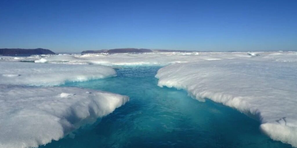
The Geological and Mining Institute of Spain of the CSIC (IGME-CSIC) describes it. How does the groundwater system in Antarctica work? It is known to feed several freshwater lakes on Deception Island. And it is formed by very permeable volcanic deposits.
An important part of the snowmelt and rain infiltrates, generating an annual recharge that is equivalent to 41% of the precipitation. The lakes are in closed craters. But they connect with the sea through the subsoil and even react to the tides. This behavior is unusual in polar and volcanic environments. It allows us to propose a new hydrogeological model of the island. And it helps to anticipate how it could change with warming and the degradation of the permanently frozen soil (permafrost).
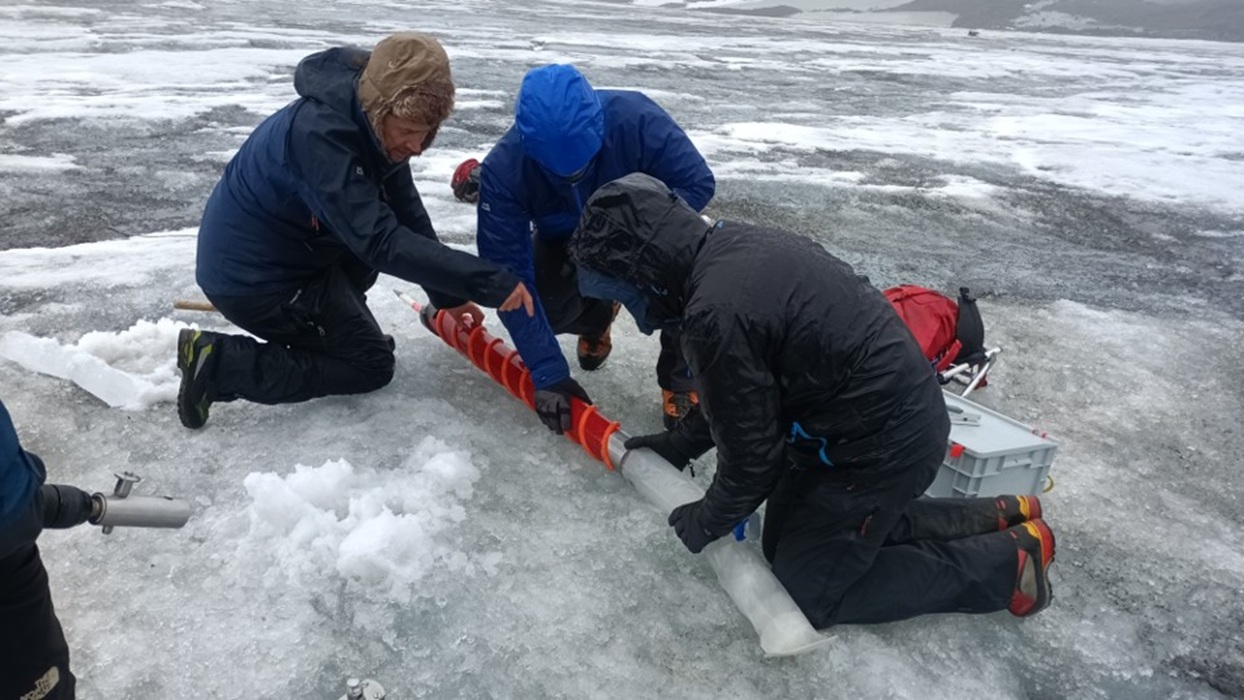
First map
It is the "first comprehensive characterization of the functioning of an aquifer system in Antarctica." That is, the first complete description of how groundwater circulates in this environment.
The study focuses on the volcanic island of Deception. It has active volcanism, glaciers, numerous lakes and a complex system of permanently frozen soil, called permafrost. Its seasonal dynamics strongly conditions the hydrological behavior of the island. It is one of the most researched places in Antarctica. But its groundwater system remained largely unknown.
Understanding it is key to interpreting the evolution of lakes. Also the response of the terrain to global warming and the interaction between freshwater and seawater in an extreme environment like that of the island. Groundwater freshwater in Antarctica is a valuable reservoir. The study shows that the aquifer system is formed by very permeable volcanic (pyroclastic) sediments. They very efficiently infiltrate water from rain and, especially, summer thaw.

Filtering rain
The work describes two interconnected aquifers. One of them is superficial and seasonal, linked to the active layer of permafrost. And another deeper and more permanent deep one (regional). There the water circulates very easily through the volcanic materials and is directly connected to the sea.
Underground discharge from both aquifers controls the level of the lakes. It explains why the water remains fresh, despite being located at the bottom of closed volcanic craters and very close to the sea. The annual recharge of the aquifer is equivalent to 41% of the precipitation. A very high value that confirms the great infiltration capacity of the terrain and the importance of the annual thaw in the hydrological functioning of the island.
Leave a Reply